Services
Our services and approach to AI analytics
SIA Gajs offers specialized solutions for monitoring and data analysis using advanced drone technologies and artificial intelligence. We dive deep into each client’s tasks to ensure maximum return on the collected information. Find out more about our key areas and methodology.
Our Services Overview
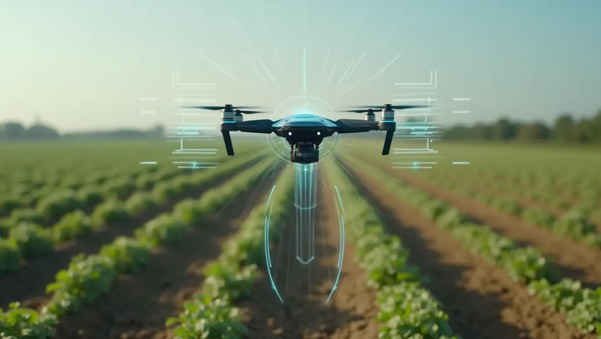
- Agromonitoring
Agromonitoring: Precision farming and resource optimization
Modern agriculture requires accurate data to make effective decisions.
Our drones equipped with multispectral and thermal cameras, combined with AI analytics, provide farmers and agroholdings with invaluable information to increase yields and reduce costs.
Your Benefits:
Reduced input costs, water savings, higher yields, better product quality, timely response to issues, and more efficient planning.
What We Can Monitor and Analyze:
- Plant Health and Stress
- Irrigation System Efficiency
- Soil Composition Mapping
- Variable Rate Application (VRA) Planning
- Harvest Optimization and Yield Forecasting
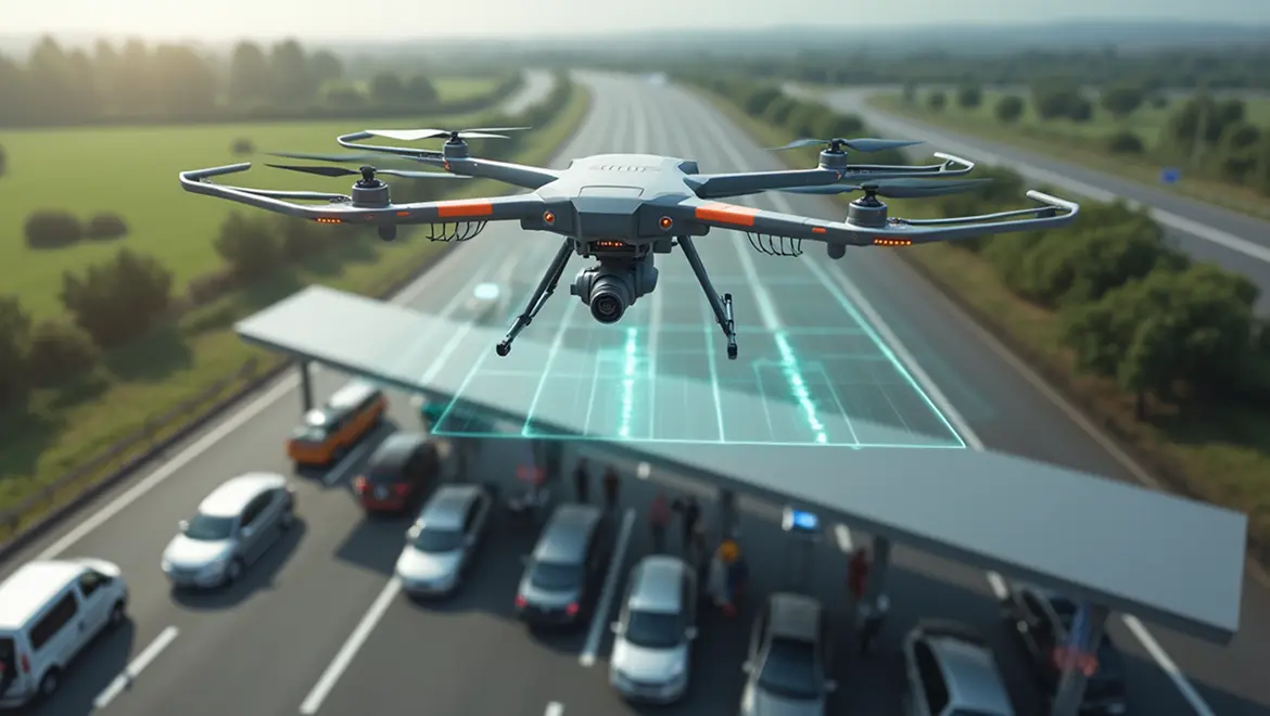
- Industry Inspection
Infrastructure and Industrial Asset Inspection: Safety & Predictive Maintenance
Traditional inspection of industrial and linear infrastructure is often expensive, risky, and time-consuming. Valaris Serviss SIA offers a safer, faster, and more cost-effective alternative using drones and AI-powered analytics.
Your Benefits:
Significant reduction in inspection costs, improved worker safety, minimized downtime, early defect detection for predictive maintenance, asset life extension, and regulatory compliance.
What We Inspect:
- Pipeline Networks (oil, gas, product)
- Power Lines and Substations
- Factories and Warehouses
- Wind Turbines and Solar Power Plants
- Bridges and Critical Infrastructure
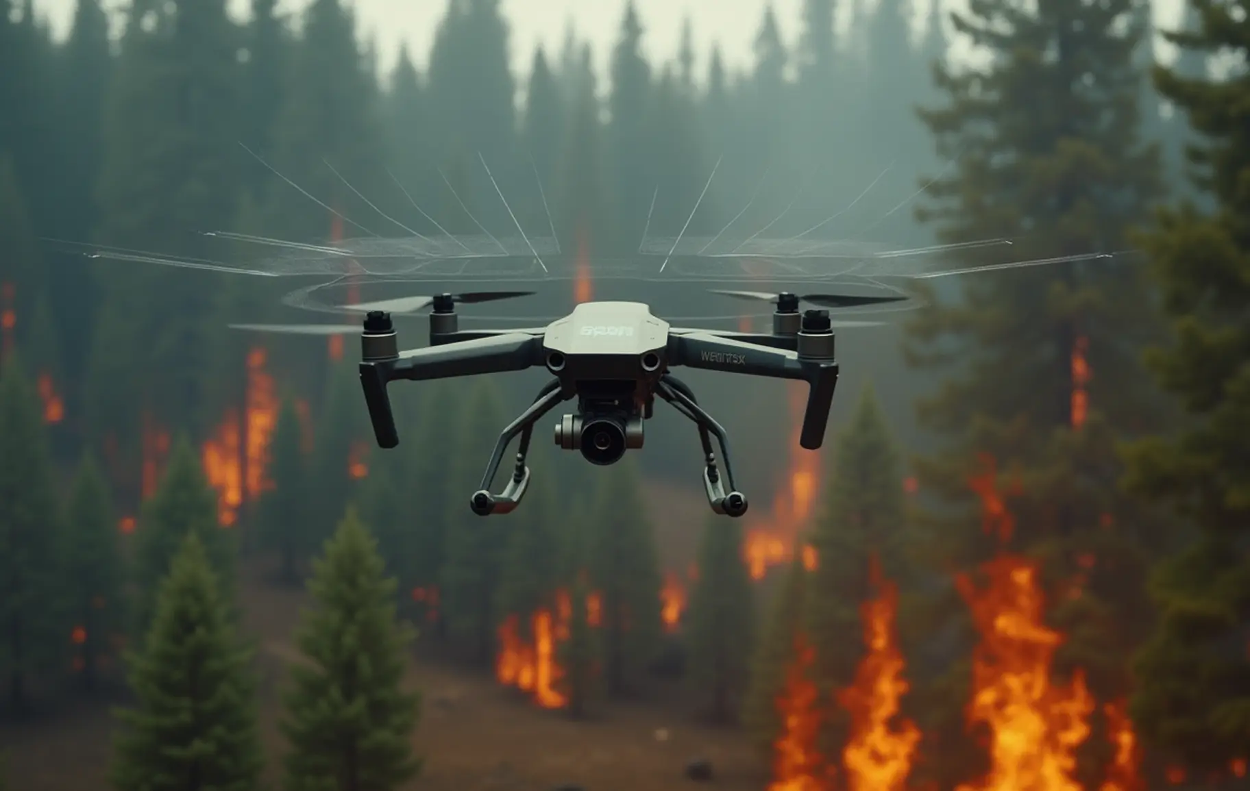
- Fire monitoring
Wildfire Detection and Response Optimization
Timely detection is critical in preventing the spread of wildfires and minimizing damage. Using thermal imaging and AI pattern recognition, our drones identify early-stage hotspots and monitor fire dynamics in real time, even in hard-to-reach terrain.
Your Benefits:
Faster response times, reduced fire damage, increased safety for personnel, and improved coordination during emergency situations.
What We Inspect:
- Early Hotspot Detection
- Fire Spread Mapping
- Smoke and Heat Plume Tracking
- Post-Fire Area Assessment
- Real-Time Situational Awareness
- Border monitoring
Persistent Surveillance for Secured Boundaries
Monitoring expansive or sensitive areas requires reliable aerial visibility.
Our drones provide persistent surveillance of borderlines, coastlines, and remote zones — detecting unauthorized activity and ensuring regulatory compliance.
Your Benefits:
Increased perimeter control, reduced blind spots, enhanced border safety, and improved response coordination.
What We Can Monitor and Analyze:
- Unauthorized Crossings and Movements
- Perimeter Breach Detection
- Coastal Surveillance and Vessel Tracking
- Infrastructure Security
- Day/Night Monitoring with Thermal Imaging
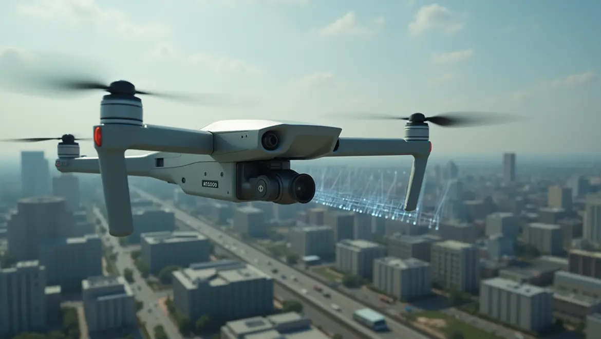
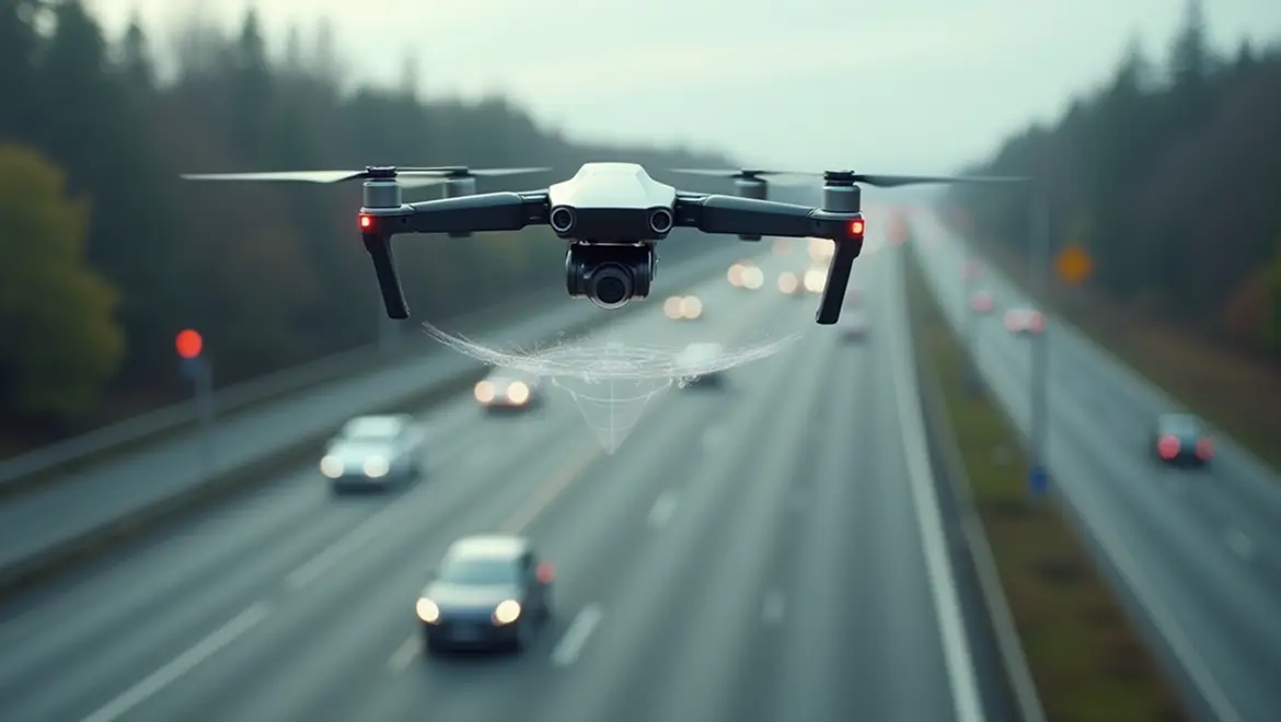
- Traffic flow analysis
Smart Mobility Insights Through Aerial Data
Understanding how traffic moves is key to urban planning and safety. Our drone systems collect real-time visual and thermal data to analyze congestion, flow patterns, and incident zones with unmatched flexibility and scale.
Your Benefits:
Reduced traffic congestion, improved road safety, optimized infrastructure planning, and data-backed decision-making.
What We Can Monitor and Analyze:
- Vehicle Counts and Flow Patterns
- Congestion Hotspots
- Accident Detection and Reporting
- Intersection Efficiency
- Time-of-Day Traffic Variability
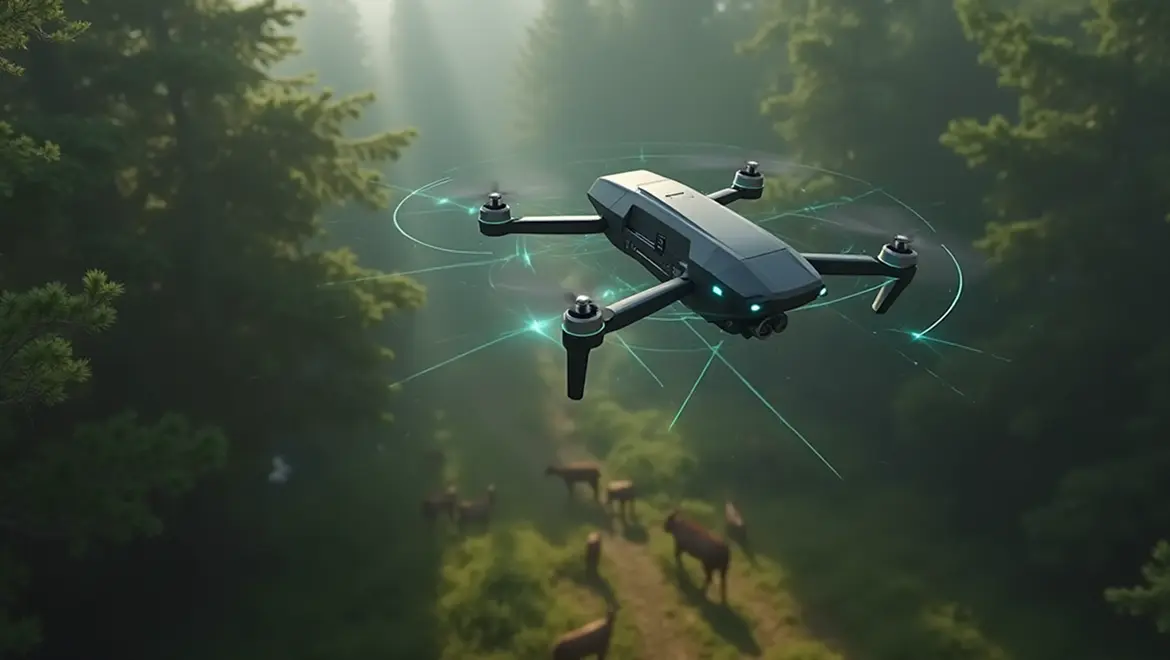
- Environmental monitoring
Protecting Natural Resources Through Smart Observation
From pollution tracking to land use analysis, our drone and AI systems provide high-resolution data to support environmental research and regulation.
We monitor environmental changes, emissions, and ecological health indicators with minimal ecological disturbance.
Your Benefits:
Improved ecological preservation, regulatory compliance, better planning, and enhanced visibility over vulnerable zones.
What We Can Monitor and Analyze:
- Air and Water Pollution Indicators
- Deforestation and Land Use Change
- Wildlife Habitat Disruption
- Illegal Dumping or Landfill Expansion
- Seasonal Environmental Shifts
Our approach:
From data collection to actionable recommendations
- SIA GAJS

Mission Planning & Execution
We begin with a detailed consultation, then design precise UAV missions using certified drones and the optimal sensors for your task—fully compliant with EU safety standards.
AI-Powered Data Processing
Collected data is processed using AI to detect patterns, risks, and key metrics. We deliver clear visual outputs: detailed maps, 3D models, and recommendations tailored to your needs.
Accuracy & Security by Design
We ensure centimeter-level positioning using RTK/PPK GNSS, encrypted data transfer, and secure cloud storage. Ready for both one-time surveys and ongoing monitoring plans.
- SIA GAJS
Ready to take your monitoring to the next level?
Contact us today to discuss your needs and receive a customized quote. Our specialist will respond to you within 24 business hours.
Contact us
Registration number:
52103100141
Legal address:
Rīga, Aristida Briāna iela 9A - 2, LV-1001